Swiss Watching trivia, No 19: Walking
August 19, 2010, 3 Comments

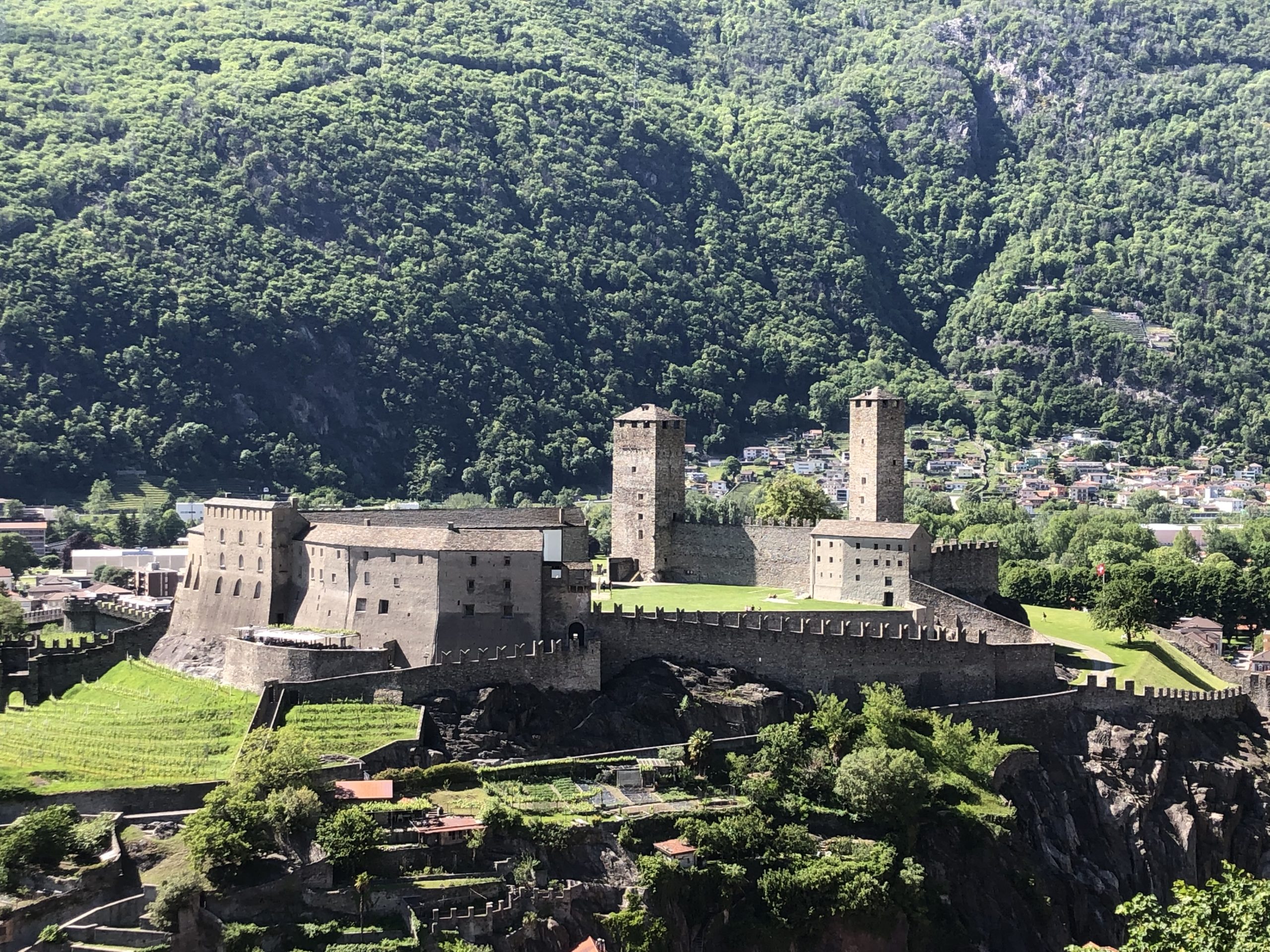
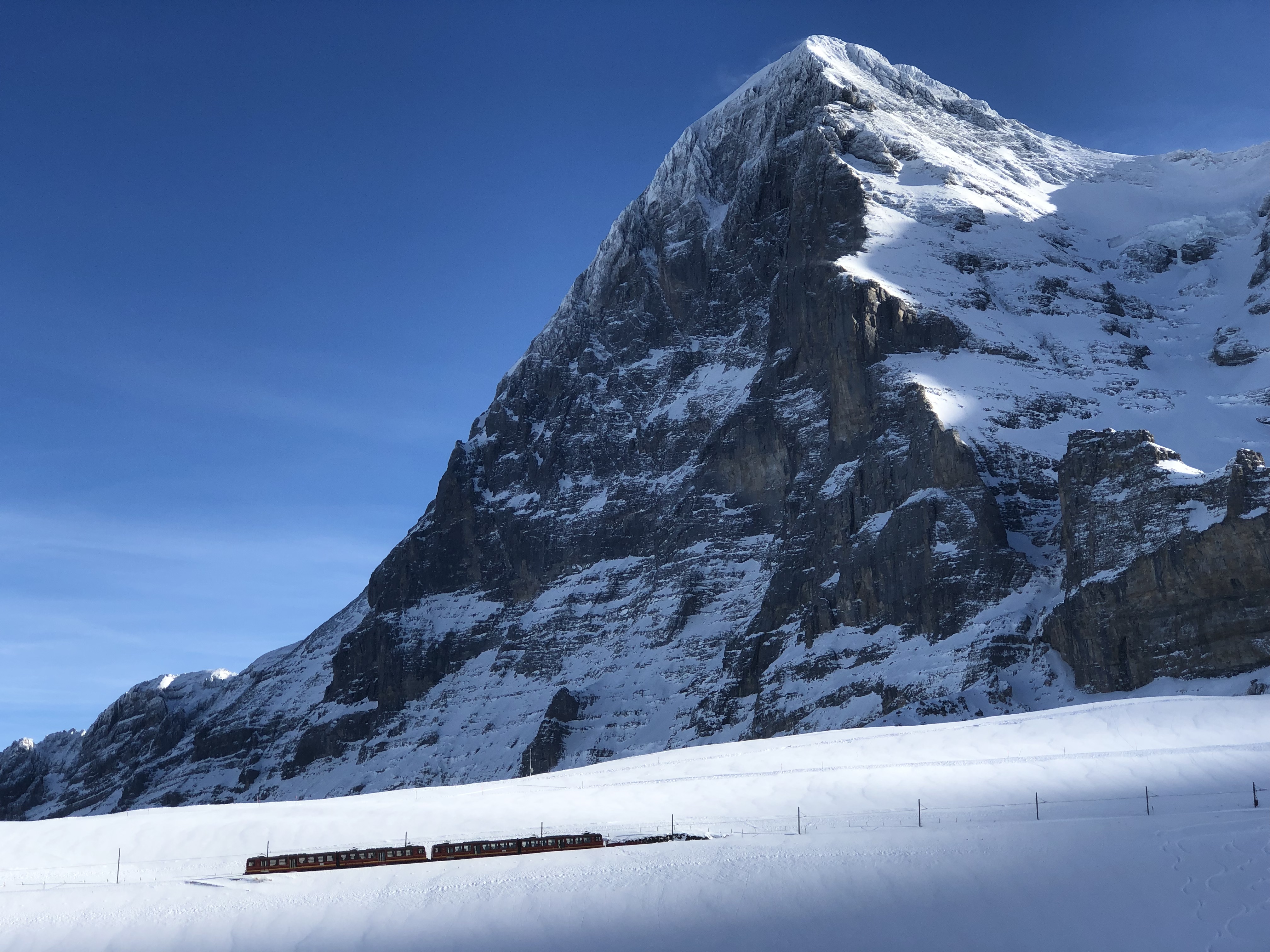
Collectively the Swiss spend 130 million hours a year out walking and hiking, covering the equivalent of 13,000 times round the world on foot. Given this national love of walking, it’s perhaps no surprise that the Swiss government has now published its whole catalogue of maps online, for free. Anyone can search and view any Swiss map, from a national scale (1:1.5 million) down to urban street plans (1:1000) – and, of course, walking maps. Each map can also be mixed with, or switched for, a satellite image; Google Earth, eat your heart out! But as fun as it is on screen, for hikers it’s an invaluable tool. Every walking path, or Wanderweg, is included: yellow for normal, red for mountain. The map above might look like a blood circulatory system but it is actually all 63,779 km of footpaths in Switzerland, covering almost every inch of the country except a few mountain tops. So walkers can zoom in on any path, see it in detail (even adding in such elements as where to find wild ibex), then print out a map to take with them. Now that is a good idea from a government.


![]()


 Follow on Facebook
 Follow on Twitter
 Subscribe by RSS
 Contact me directly
 Global Solutions Inc.
3 Comments on "Swiss Watching trivia, No 19: Walking"
Thanks a lot for this great link! My father used to collect all those maps and every autum we went 1-2 weeks for hiking-vacations somewhere in the Alps… real swiss 🙂
You’re welcome. I find the website endlessly fascinating – adding in the public transport to the maps, mixing in the satellite images, even finding my house! Either that makes me a map addict or I’m becoming very Swiss.
Trackbacks for this post